
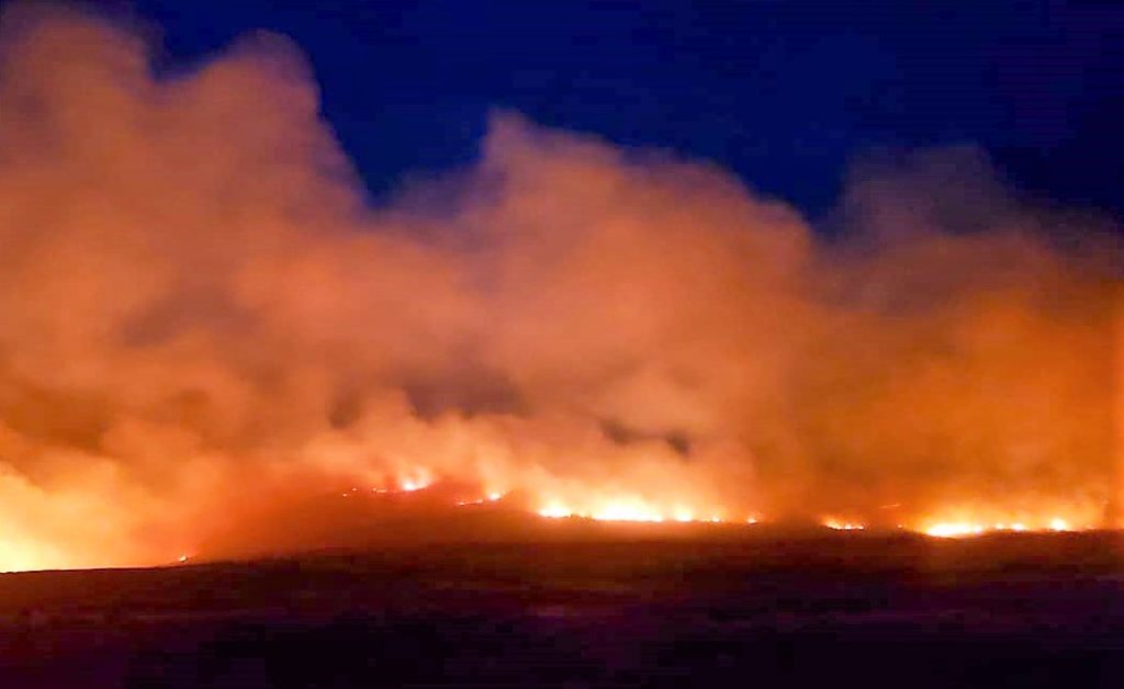
A wildfire burns out of control in Box Elder County yesterday afternoon .
LOGAN – So far this year, there have been well over 200 wildfires in Utah, most of them small fires and 95 percent of them caused by humans.
Wildland Management Professor Jim Lutz, and a team from Utah State University’s Forestry Institute, is on a quest to create the state’s first fire atlas as an aid in managing these fires.
“What we mean by an atlas is understanding the parts of Utah that have burned within the last 30 years and more than just whether they burned, but how severe they’ve burned,” Dr. Lutz said. “So, if we look at a fire of a given size it can have beneficial effects and it can also have effects that are not so good. And a lot of that depends on the actual severity and the pattern of severity within fires.”
Dr. Lutz said they want to understand how that plays out at all of Utah’s unique fire sites.
The team is sorting through 40 years of satellite images for the project with an understanding that fires burn characteristically with respect to the terrain, vegetation, the fuel load and Utah’s weather.
Adding to the satellite images, crews will be sent out into all the different forest types in Utah to look at last year’s fires to see if what the satellite tells them is revealed on the ground.
They are examining fires of a hundred acres and larger.
Dr. Lutz said the team wants to help steward Utah’s landscapes by providing fire managers to help in planning more prescribed burns. Knowing where such burns might be needed can result in fewer of the raging forest fires.
The fire atlas will be available online.
Free News Delivery by Email
Would you like to have the day’s news stories delivered right to your inbox every evening? Enter your email below to start!