
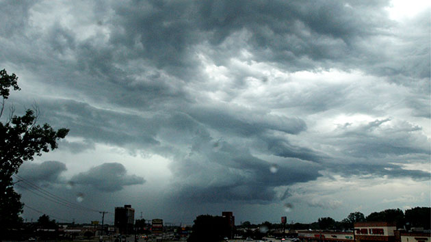
 iStock(NEW YORK) — A new storm is developing this morning in the Southern U.S. while rain is moving across parts of the Texas-Louisiana Gulf Coast stretching northward to Missouri. There are a couple of stronger thunderstorms in the rain which could also lead to some gusty winds.
This storm will quickly move off to the north and east and begin to interact with cold air. As a result, some snow is possible across the Great Lakes on Sunday evening into early Monday. Some snow will also move into parts of the Northeast early Monday.
Meanwhile, a coastal low will develop off the Carolina coastline and begin to slide northward, interacting with the main storm system over the Great Lakes.
On Monday, as the coastal low deepens, snow will overspread parts of the Northeast, especially interior New England, including western Massachusetts and much of Central New York.
Closer to the major cities, from Philadelphia to Boston, several rounds of heavy rain will be possible. Additionally, winds will increase potentially over 30 mph in spots.
Locally, over 6 inches of snow will be possible, especially in the higher elevations of interior New England. An estimated 3 to 6 inches of snow will be possible in the northern edge of the lower Hudson valley all the way to Springfield, Massachusetts. One to two inches of rain will be possible across parts of the Philadelphia and New York City metropolitan areas and some flooding will be possible.
It is important to remember that the sun angle, recent mild weather and lack of significant cold air support will limit what actually is able to accumulate on the ground, especially non-grassy surfaces.
Meanwhile, a storm will slide into California today, the latest in a string of storms that have been impacting the area.
Locally, heavy rain could cause some flooding in Los Angeles on Sunday and, by late Sunday and early Monday, some of the heavy rain will make it to Las Vegas with some possible localized flooding as well.
This storm quickly races off into the intermountain west and beings to interact with a boundary that forms in the southern Plains. On Monday night, a small area of decent instability along with some wind shear and a strengthening low level jet could produce some scattered severe storms in the plains.
Strong winds, large hail and brief tornadoes will be possible from northern Texas through Oklahoma and into southern Kansas. The time frame will be very late Monday night into Early Tuesday.
The storm will quickly move towards the Tennessee Valley by Tuesday and the risk for severe weather will slide eastward with more strong winds, large hail and brief tornadoes possible including parts of the Memphis and Nashville, Tennessee, areas.
It is important to note that parts of central Tennessee were devastated by destructive tornadoes just a short few weeks ago and that parts of the Southern U.S. have been well above average with rainfall so far this year.
Copyright © 2020, ABC Audio. All rights reserved.