
 iStock/Darwin BrandisBY: GINGER ZEE, DANIEL MANZO, EMILY SHAPIRO, and KARMA ALLEN, ABC News
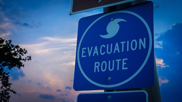
(NEW YORK) — Hurricane Sally is expected to strengthen into a dangerous Category 2 hurricane on Tuesday as it moves east toward Louisiana, coastal Mississippi and Alabama.
The slow-moving storm strengthened to a hurricane mid-morning Monday with winds of about 90 mph.
Landfall is expected Tuesday in either far eastern Louisiana or near Biloxi, Mississippi. Flash flood watches extend as far north as Birmingham, Alabama, as Sally is expected to move slowly across the state through Wednesday with heavy rain. Storm surge is possible too. What is a storm surge?
Here’s how it works:
As pressure falls in the hurricane’s center, water levels rise. The water accumulates while the storm is still over the open ocean.
When the hurricane closes in on land, its strong winds push that water toward the coast and up onto land, creating walls of water sometimes as high as 20 feet.
The danger to people inside houses on the coast is the deluge of water that can flood homes and overpower walls rapidly.
During Hurricane Katrina in 2005, at least 1,500 people died “directly, or indirectly, as a result of storm surge,” the National Hurricane Center said. When Hurricane Sandy hit New York and New Jersey in 2012, many homes filled quickly with water that reached levels of 8 to 9 feet.
The risks can be even greater if storm surge combines with high tide, creating a devastating, rapid rise in water levels.
Copyright © 2020, ABC Audio. All rights reserved.